The digitization solution for states, cities and municipalities
Fast data collection
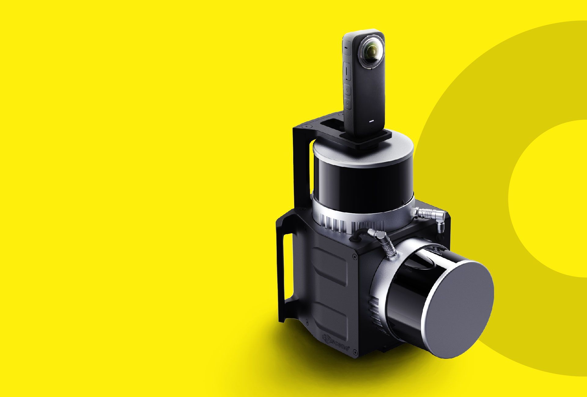
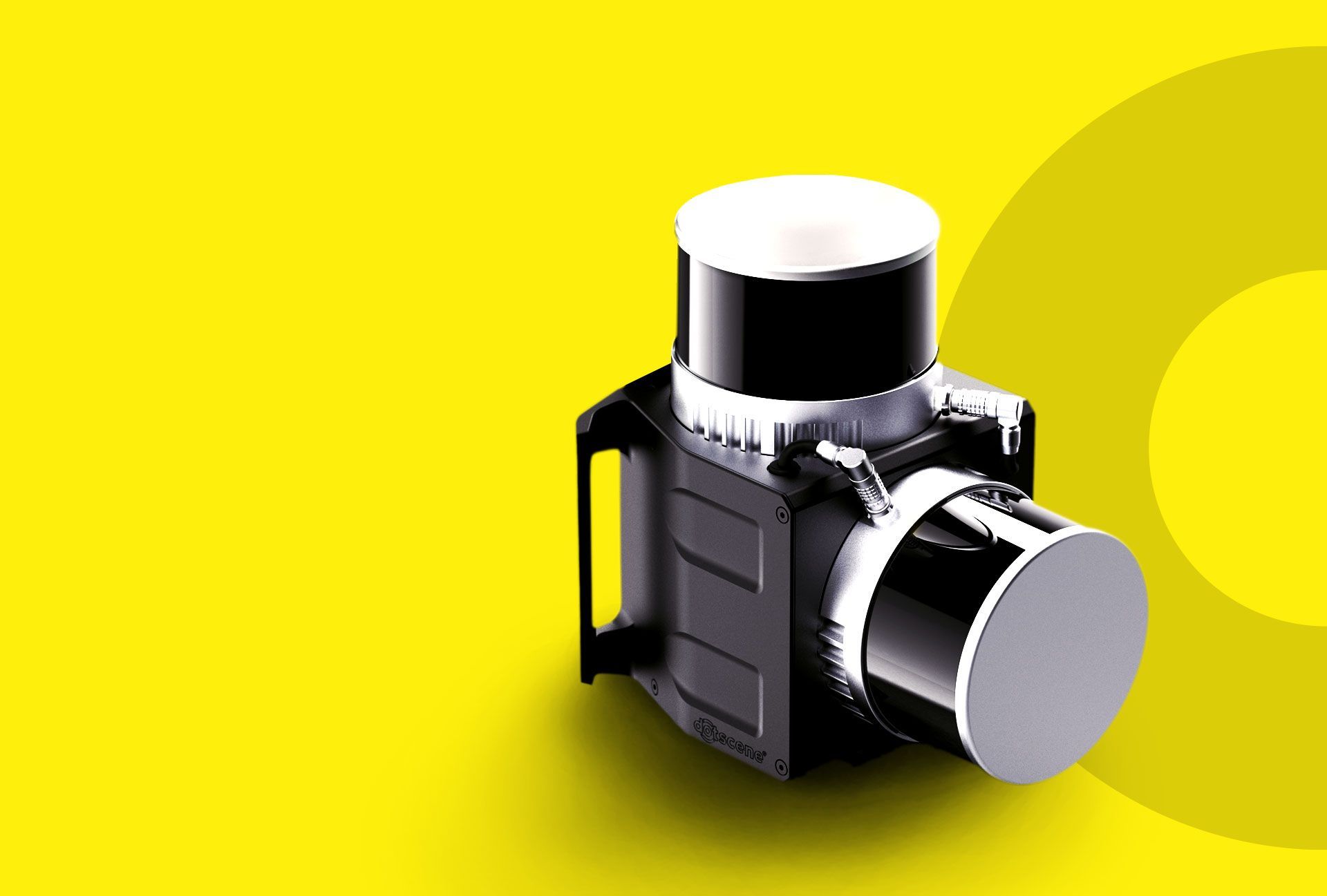
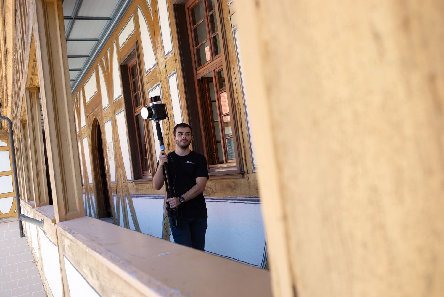
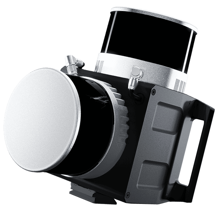
The dotcube collects data at the same speed as you walk through a building.
Flexibility
Whether you scan your properties yourself or use our scanning service, you can combine all our service offerings at any time.
Seamless integration
We use your existing layouts and organize the data according to your requirements.
CAFM
Your personal contact will guide you through your project and ensure that your data is seamlessly transferred to your Computer Aided Facility Management system.
Basics for your climate-neutral real estate portfolio
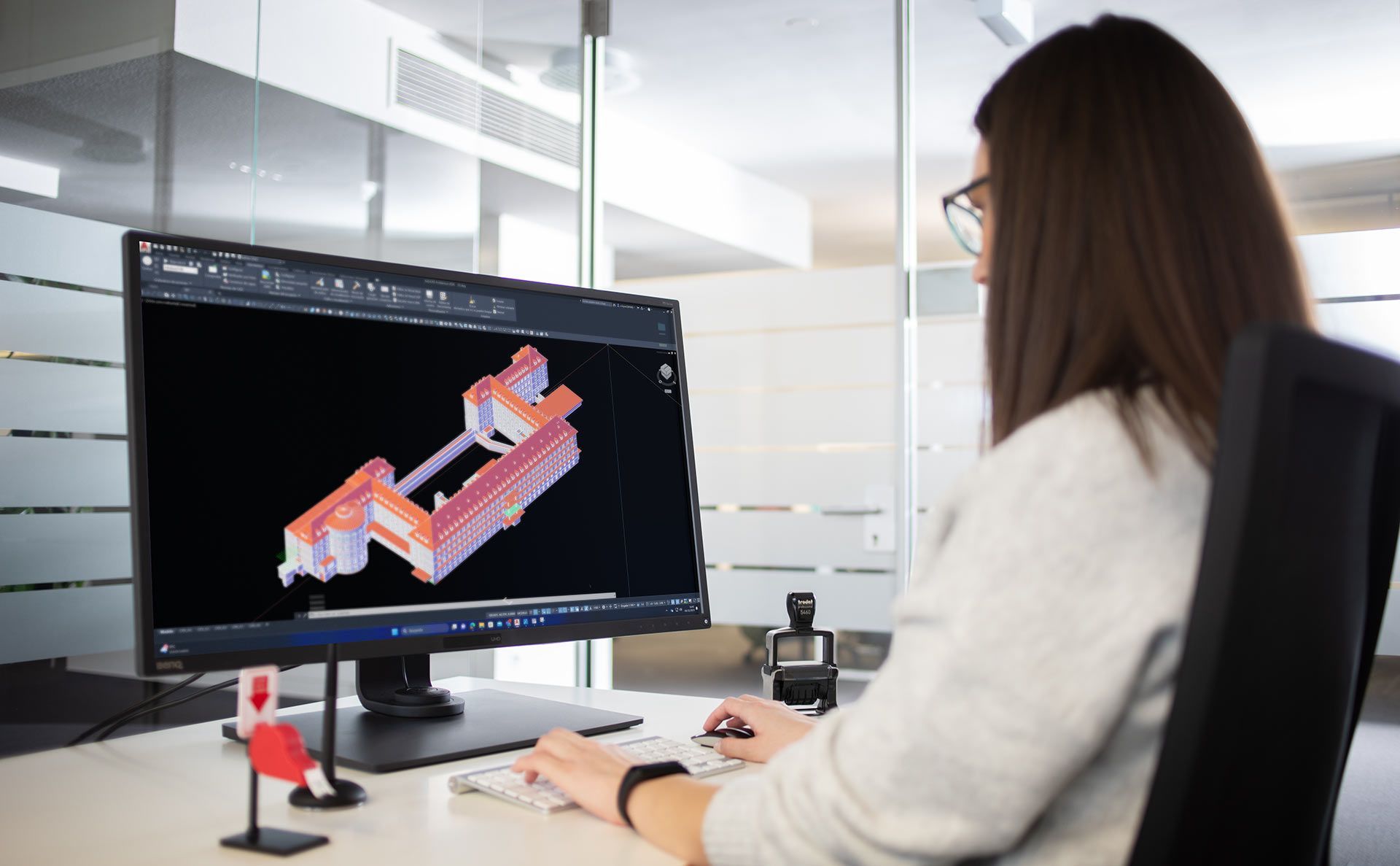
Anyone who manages and operates a municipal building portfolio bears a special responsibility. Maintaining and developing such a diverse real estate portfolio, operating it economically and at the same time acting as a role model to achieve specific climate targets is a major challenge. Thanks to dotscene's solutions, you can quickly obtain digital plans for your CAFM, make decisions based on precise three-dimensional data and lay the first building blocks for achieving your climate targets.
Diverse real estate portfolio?
With experience from over 1,000,000 square metres of digitized total area and more than 1,000 buildings for the Landesbetrieb Vermögen und Bau Baden-Württemberg alone, we know the challenges associated with the digitization of diverse real estate portfolios.
Transparent workflow
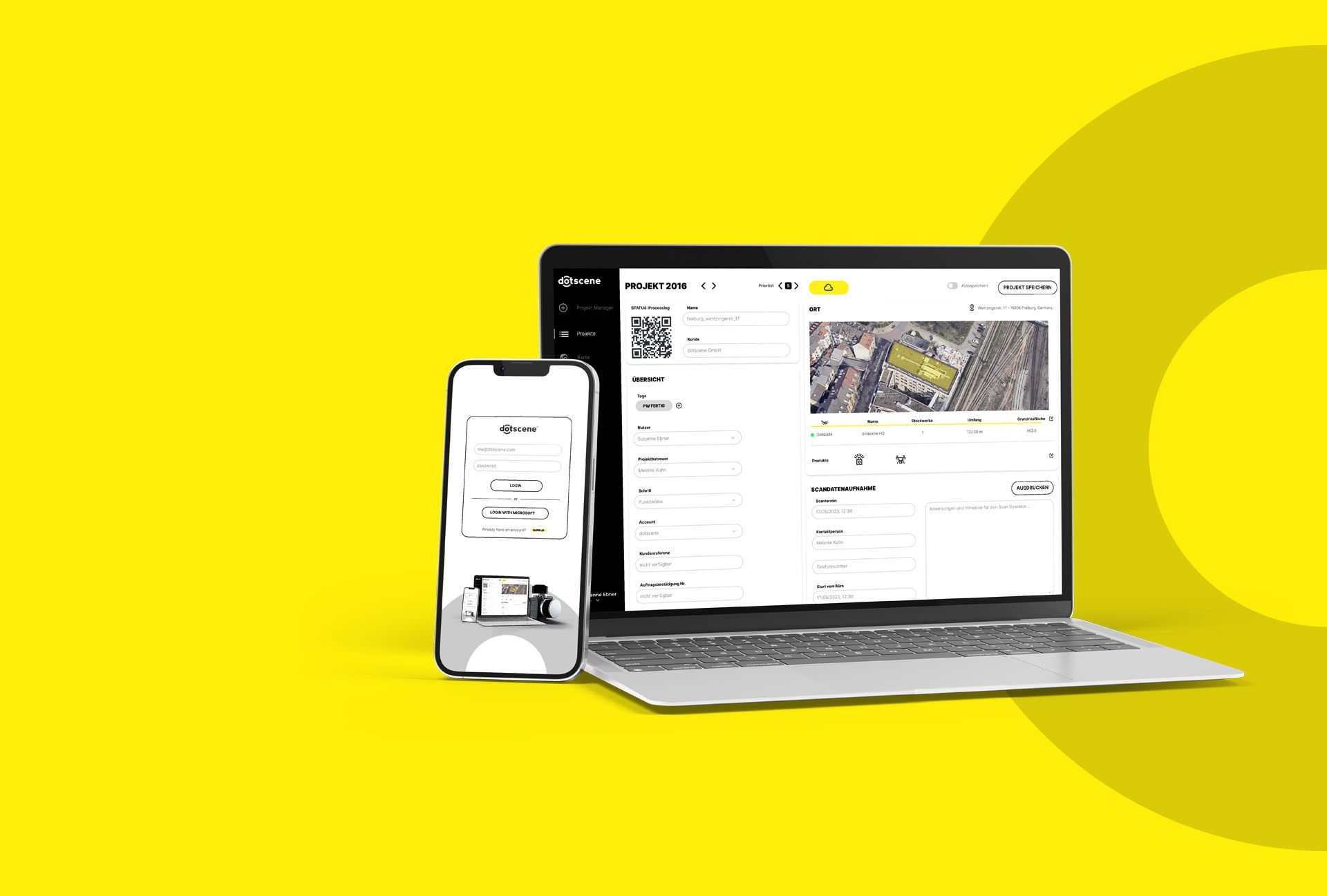
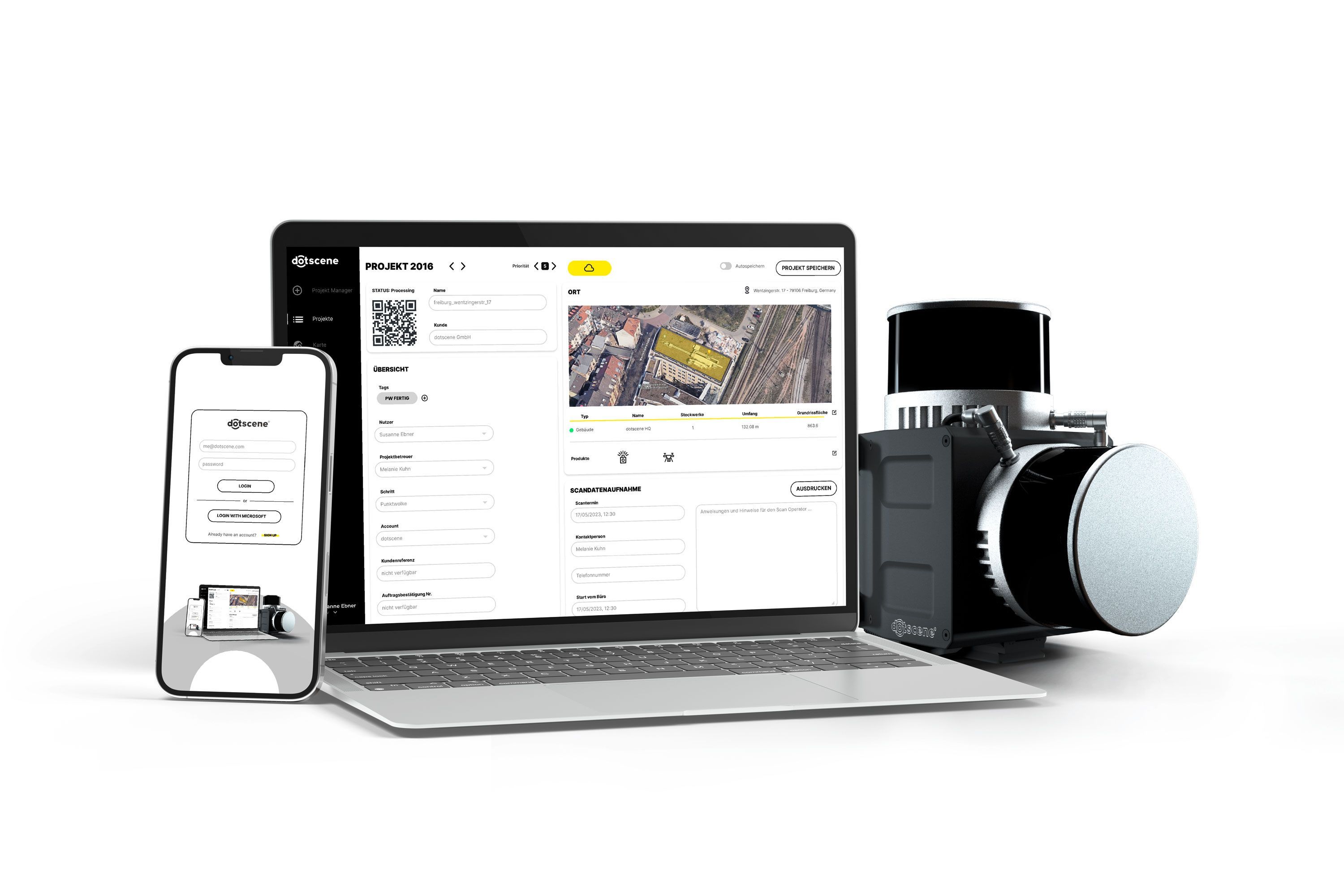
Keep track of the progress of your projects in your customer account at all times and easily share information within the dotscene Cloud with all authorized project partners. We have developed a unique workflow for the digitization of municipal real estate portfolios that enables the transparent and cost-efficient digitization of large portfolios.
5 steps to a digitized inventory
- 1
Consulting
Our project managers take a close look at the objectives of your project, show you solutions and work with you to develop the optimum strategy for your project.
- 2
Pilot phase
Together with you, we agree on an object that is representative of your project and is recorded and processed. On this basis, our project managers draw up the specifications and lay the foundation for the entire survey.
- 3
3D scans
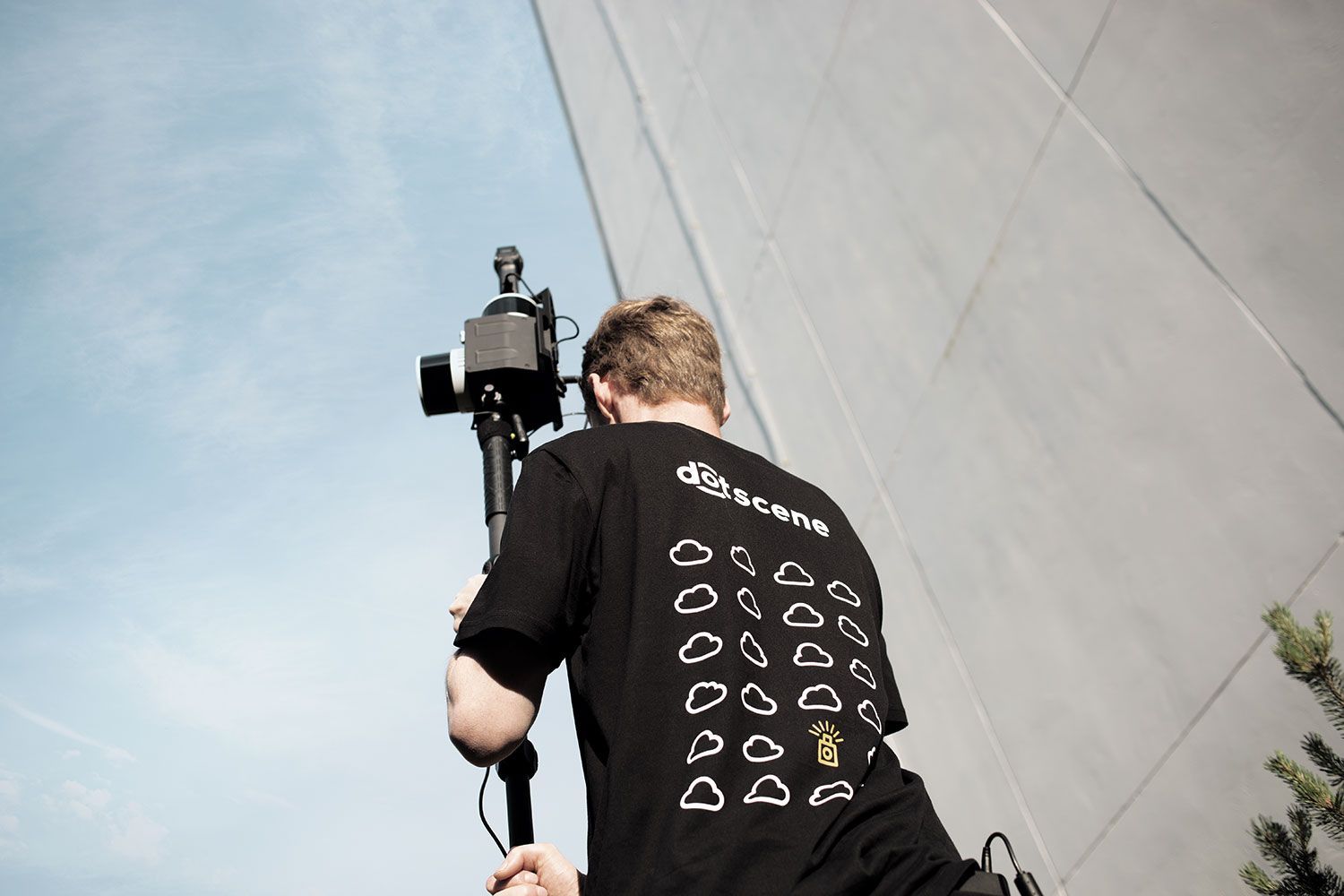
Scan your building stock yourself or use the dotscene scan service. The data is captured in the shortest possible time in coordination with the respective users of the properties.
- 4
Data preparation
The data is checked by us, made available for visualization in your customer account on request and prepared as CAD models.
- 5
Data handover
The prepared data is gradually handed over to you. Individual projects can be prioritized at any time.
From dotcube to the dotscene Cloud
Find out more about how our mobile mapping products and browser-based planning tools simplify inventory digitization and adapt to your workflow.
What our customers say about us
Our services
How to save time and effort with our support
Still have questions?
We would be happy to discuss the individual options for your project with you personally.
Latest news about dotscene
and our current projects

Scanning with a view of the Alhambra
An inspiring morning with the construction engineers of tomorrow
Learn more

